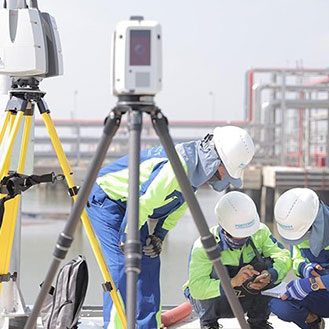
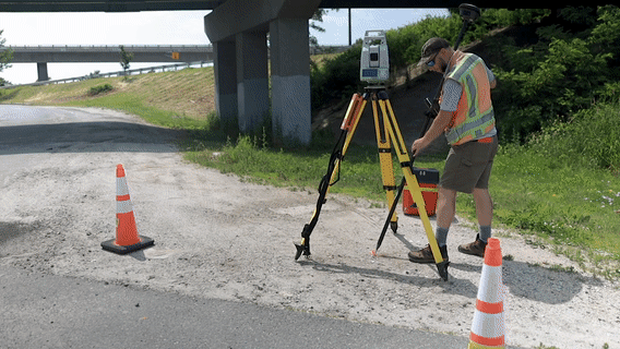
Surveyors
Surveyors take precise measurements and determine the terrestrial or three-dimensional positions of points and the distances and angles between them.
Measure without limits
Besides defining legal boundaries, the planning, construction and maintenance of most structures require a surveyor’s service. Surveyors provide accurate measurements and up-to-date data to shape and build a better world.
Geared with the right equipment, software and services, land surveyors determine much more than property boundaries. They provide measurements, positions and the data needed for a variety of construction services. These surveying service providers will assess, verify and produce the most accurate data giving contractors the information they need to create winning bids, produce accurate models for machine control and get the job done right first time.
Surveying is in our DNA
With 200 years of history in surveying, Leica Geosystems leads the industry with accurate instruments, sophisticated software, and trusted services, to help surveyors be faster and innovate workflows to meet clients’ needs with fewer resources and higher-quality deliverables.
Surveyors geared with Leica Geosystems end-to-end workflow solutions have the equipment to be more efficient and accurate on how they process, report and share information.
Surveyors use equipment such as total stations, GNSS systems, 3D laser scanners, mobile mapping sensors, detection systems, digital lasers and levels, GIS collectors combined with correction services, field and office surveying software to measure, create maps, 3D models and much more.
Our positioning, measurement and reality capture technology can dramatically improve the way surveyors collect, process, visualise and share data.