Airborne Sensor
Leica Geosystems airborne solutions offer sensor technology and processing workflows for efficient mapping.
Ready to get started
-
 Product
A large-format imaging sensor delivering unsurpassed image fidelity for multiple photogrammetric and remote sensing applications.
-
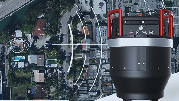
×Human-Assisted autonomyCapturing data with the Leica DMC-4 is enabled by an automated workflow from flight planning to product creation.
-
 Product
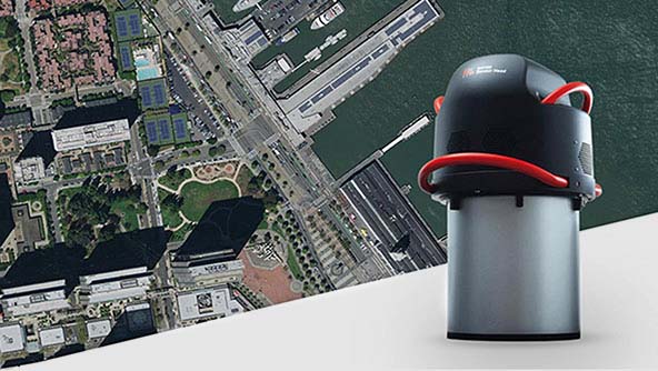
The world's first hybrid sensor for large-area imaging and LiDAR mapping captures foundational geospatial data simultaneously, supporting multiple applications.
-
 Product
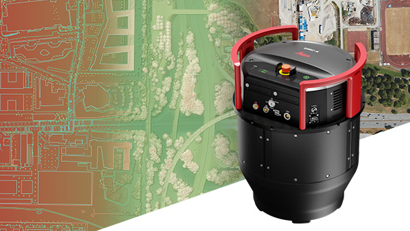
This single-photon LiDAR airborne sensor used at high altitudes and over large areas captures six million points per second.
-
×Human-Assisted autonomyCapturing data with the Leica SPL100 provides an automated workflow from flight planning to product creation.
-
 Product
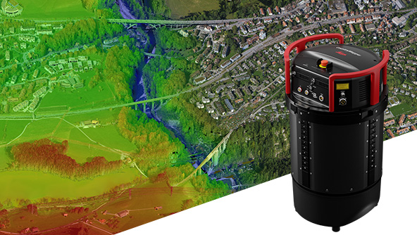
A modular, scalable linear-mode airborne LiDAR sensor providing the highest performance for regional mapping projects.
-
×Human-Assisted autonomyCapturing data with the Leica TerrainMapper-2 is enabled by an automated workflow from flight planning to product creation.
-
 Product
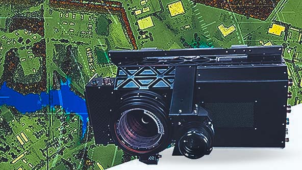
The ADS100 airborne imaging sensor provides high acquisition efficiency, great image quality and fastest processing speed.
-
×Human-Assisted autonomyCapturing data with the Leica ADS100 is enabled by an automated workflow from flight planning to product creation.
-
-
 Product
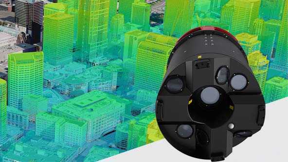
A hybrid oblique imaging and LiDAR airborne sensor. Efficiently digitalises cities and creates accurate 3D models and meshes.
-
×Human-Assisted autonomyCapturing data with the Leica CityMapper is enabled by an automated workflow from flight planning to product creation.
-
 Product
The Leica ContentMapper is an innovative, efficient airborne mapping solution for large-scale geospatial content collection.
-
×Human-Assisted autonomyCapturing data with the Leica ContentMapper is enabled by an automated workflow from flight planning to product creation.
-
-
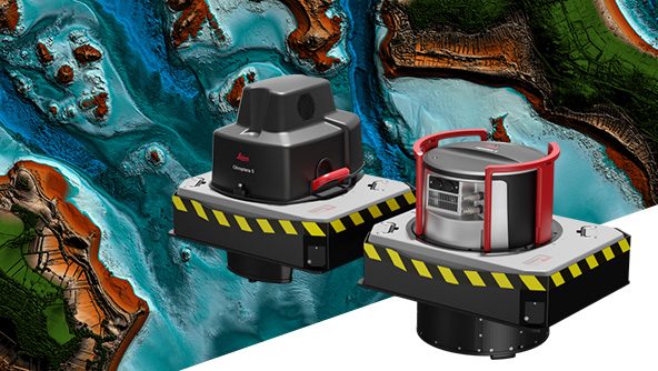
 Product
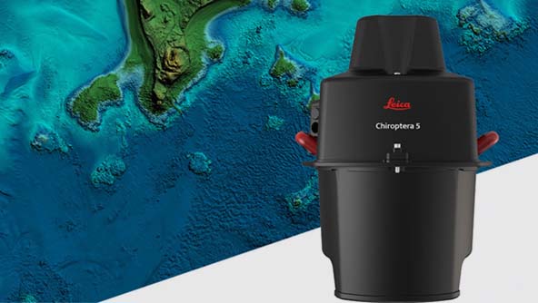
A highly efficient bathymetric and topographic coastal mapping LiDAR sensor producing seamless data from land to water.
-
×Human-Assisted autonomyCapturing data with the Leica Chiroptera-5 is enabled by an automated workflow from flight planning to product creation.
-
 Product
The world’s only stabilised bathymetric LiDAR sensor providing a high-performance solution for detailed data capture in deep waters.
-
×Human-Assisted autonomyCapturing data with the Leica HawkEye is enabled by an automated workflow from flight planning to product creation.