Explore Geospatial content solutions
Geospatial data from the largest database of consistent, high-resolution aerial imagery and elevation data.

Largest collection of high-resolution aerial data
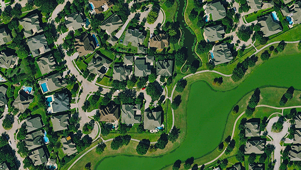
Transform your geospatial project with high-quality aerial imagery that enables smarter, more informed decisions.
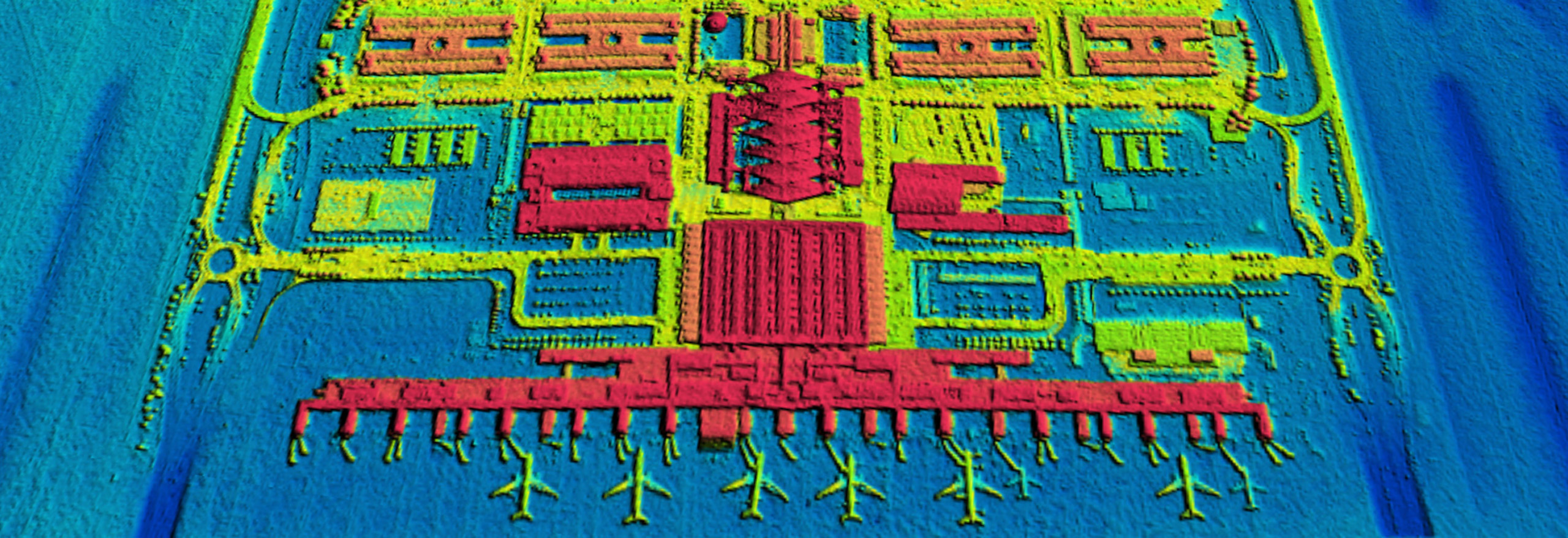
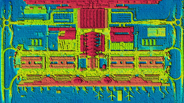
Elevation data
High-accuracy digital surface models (DSM) for 3D surface visualisation and geospatial analysis.
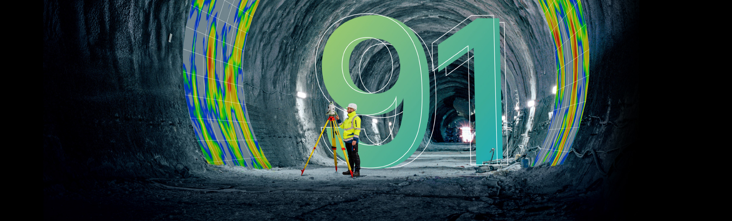
Reporter 91
Data Unlocked — How actionable insights bridge the gap between data and knowledge
Ready to get started?
-
 Product
3D Models
×HxGN Content ProgramUnlock deeper insights using ultra-high-definition 3D digital twins of your urban environment.
-
×Partial autonomyIdeal for creating simulations and deriving analytics of dense urban environments via AI and ML algorithms.
-
-
 Product
Aerial Imagery
×HxGN Content ProgramTransform your geospatial project with high-resolution aerial imagery that enables you to make better-informed decisions.
-
×Partial autonomyExtensive coverage and consistency makes it ideal for deriving analytics and extracting features using AI and ML algorithms.
-
 Product
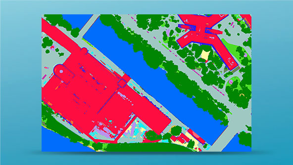
Analytics
×HxGN Content ProgramMonitor the changing landscape with maps that offer more information and context about your area of interest.
-
×Partial autonomyDetailed AI-based vector maps offer context to analyse and monitor the urban landscapes.
-
-
 Product
Elevation Data
×HxGN Content ProgramMeasure and analyse the earth's surface and above-ground features with high-accuracy elevation data.
-
×Partial autonomyElevation data is key to simulations, interpreting the environment and extracting height maps.
-