Maps for insurance

Maps and location intelligence
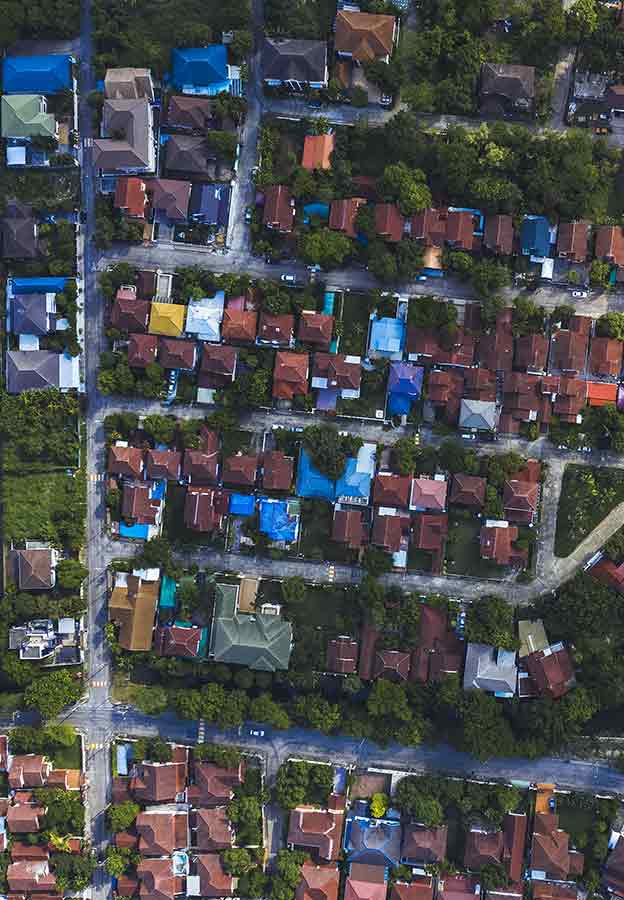
Detect changes and extract information from aerial data to respond to disasters, assess properties and analyse risks.
Hexagon provides geospatial imagery and data for insurance, specifically 2D and 3D aerial data to support change detection, risk analysis and disaster management. This highly accurate data provides the perfect foundation for AI applications.
-
Overview
-
Cities and nations
-
Buildings
-
Infrastructure
Industrial and commercial resiliency
Forge safer industrial and commercial facilities with scalable surveillance, security and incident management capabilities.
Mapping solutions
Leverage location intelligence with solutions that capture, visualise, analyse and derive insights from location data to address a variety of urban and national challenges.
Public administration solutions
Easily share data for census, cadastral management, public works and interagency situational awareness with cloud-based applications and collaborative solutions.
Public safety solutions
Improve the quality, accuracy and availability of critical information with integrated technology solutions that enhance public safety and security performance and productivity.
Transportation solutions
Deploy intuitive, integrated solutions for roads, railways, aviation and maritime to ensure effective planning and operations and enhance safety with minimal disruption.
Design phase
Capture an accurate digital reality of a building site’s existing conditions, features and positioning to help digitally design initial concepts that minimise inputs and reduce waste during the project.
Operate and maintain phase
Empower asset owners and operators with solutions that go beyond smart infrastructure and provide 24/7 visibility into the operational twin to optimise safety and efficiency throughout all operations and maintenance while extending the life of the infrastructure asset.