Improving sustainability of urban green spaces in Italy
With the Urban Green Spaces Monitoring Tool, the Italian city of Palermo can monitor, maintain and manage its green spaces more easily
The challenge
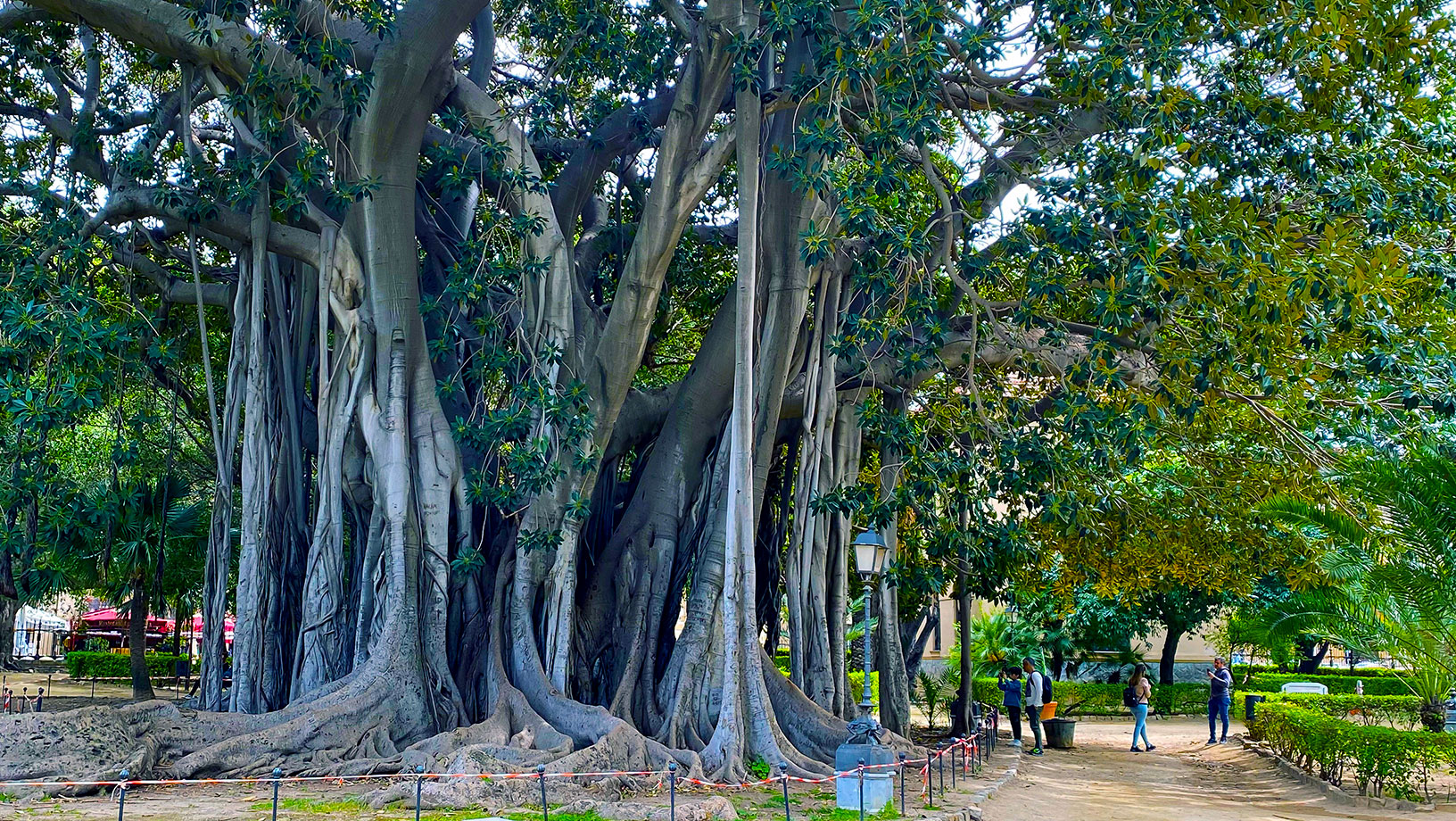
The picturesque coastal city of Palermo is the capital of the Italian island of Sicily. Today, Sistema Palermo Innovazione (SISPI SpA) supports Palermo’s strategic vision of addressing technological innovation in infrastructure and services and improving the quality of life of its more than 1.2 million residents.
SISPI needed a solution that would meet three objectives: significantly improve the overall health of green areas, optimize irrigation operations in green areas and better manage vegetative stress caused by drought.
The solution
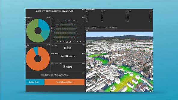
To meet these goals, Planetek Italia, a longtime Hexagon partner, developed the Urban Green Spaces Monitoring Tool, built with Hexagon’s M.App Enterprise, a unified geospatial enterprise platform that allows users to create geospatial applications that enable them to monitor real-world changes, evaluate their impacts and act on the results.
The data provided by the Vegetation Stress Index provides a better understanding of the health of these spaces because it reveals areas of vegetative stress. This means the city can closely monitor irrigation needs, especially during drought conditions, and keep its green spaces healthier.
Learn more
Also explore

What exactly is an urban digital twin?
M.App Enterprise