HxGN MineMonitoring Strategic Long-Term Monitoring
Long-term background monitoring of slope deformations and slow movements is a crucial practice for improving and maintaining efficient slope design, long-term planning and geotechnical characterization of the rock mass.
Leica GeoMos Monitoring Solution
Leica GeoMoS supports connection to any monitoring sensor or software, either Leica Geosystems or any third party.
The long range (up to 5 km) wide coverage and state-of-the art slow movement processing algorithm of IBIS radars is the perfect match for professionals looking to collect long data sets on large areas with reliable and clean results.
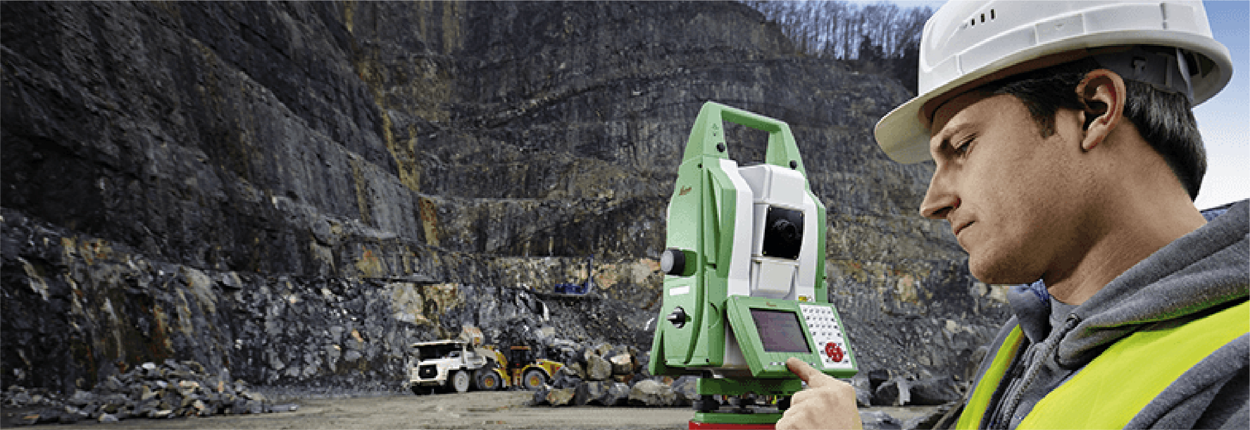
Leica Geosystem’s Robotic Total Stations have been the industry’s reference for conventional strategic long-term monitoring for decades. The unmatched accuracy and reliability of Leica Geosystems are complemented by the processing power of the GeoMoS scalable software suite.
Through the analysis of InSAR satellite data, mine operators can complement ground based deformation measurements to identify anomalous instability over large areas, to address and properly plan the best monitoring array.