HxGN MinePlan Survey

Manage, analyze and model your survey data throughout the entire mining lifecycle using a comprehensive software solution that incorporates the visualization and CAD of MinePlan 3D and point cloud capabilities of Leica Cyclone 3DR.

mineplan_survey_marquee

An interactive mining experience

Interactively explore your own life-of-mine journey to see how Hexagon leads to safer, more productive, more sustainable and more profitable mines across the entire mine site lifecycle, or contact us to discuss your unique challenges.


Main benefits

Manage, analyze and model

MinePlan Survey is a comprehensive software solution for the management, analysis, and modeling of survey data throughout the mining life cycle.

Save time building mine plan

Clean, airtight surfaces generated from large scan data via point clouds saves time building your mine as-builts.

Insight into material moved

Generate working surfaces from point data means greater insight into the change in terrain or the amount of material moved.
mineplan_survey_product

Manage, analyze survey data throughout the mine lifecycle

Mining’s downstream tasks depend on clean surfaces generated by modern survey data processing techniques. Investment in scanning technology is essential, but without a powerful means by which to process the millions of point data clearly and quickly from scanning, that investment will not pay off to its full potential. 

MinePlan Survey is a comprehensive software solution for managing, analyzing and modeling survey data throughout the mining lifecycle. At the core is HxGN MinePlan 3D, a tailor-made graphics solution for 3D mine CAD and the foundational software for visualization, design and modeling.

Leica Cyclone 3DR provides centralized, full-scale point cloud management with automated point cloud analysis and modeling. Cyclone 3DR includes a range of powerful and adaptable tools for point cloud inspection and meshing that can be leveraged to create an assortment of 3D deliverables.


Integrates MinePlan 3D and Leica Cyclone 3DR

A comprehensive software solution incorporating the visualization of MinePlan 3D and point cloud capabilities of Leica Cyclone 3DR empowers you to manage, analyze and model your survey data throughout the entire mining lifecycle.

Professional survey results in a fraction of the time

Leica Cyclone 3DR fuses technology for centralized, full-scale point cloud management with automated point cloud analysis and modeling into one simple workflow-based software with tailored tools for surveying, construction and inspection fields.

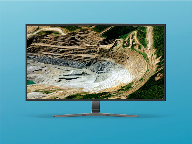
3D visualization of output from all types of geology and mining data

MinePlan Survey includes MinePlan 3D, which visualizes output from all Hexagon mine planning products. It allows you to create, manipulate, edit, query, display, and plot all types of geology and mining data in 2D and 3D. It’s a tailor-made graphics solution for 3D mine CAD.

Leica Cyclone 3DR: All-in-one survey solution

Leica Cyclone 3DR fuses technology for centralized, full-scale point cloud management with automated point cloud analysis and modeling into one simple workflow-based software with tools tailored for surveying.

MinePlan 3D integrates with Leica Cyclone 3DR

Join Jose Sanchez to learn more about how the point cloud management, analysis and modeling functionality of Leica Cyclone 3DR can be imported and exported directly through our visualization software, MinePlan 3D.

HxGN MinePlan Resource Geo

Create detailed mineral resource estimations for any deposit type. Collect and manage data, interpret and model geology.

HxGN MinePlan OP Engineering Operational

Integrate and streamline the drill and blast workflow with tools for blast design, safety exclusion zones, charge information and reconciliation between planned and actual.