Combating land encroachment in Egypt
EDGE-Pro developed an automated system to monitor and protect state-owned agricultural lands
The challenge
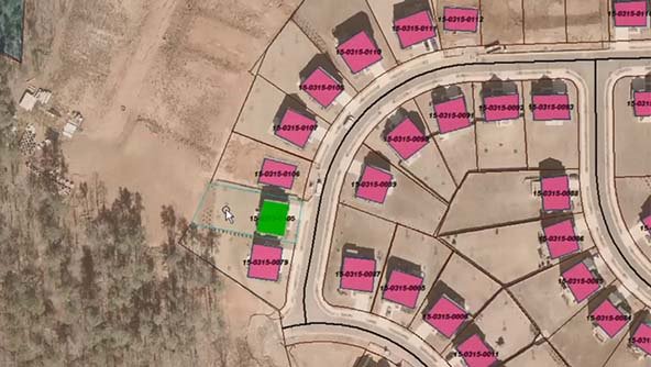
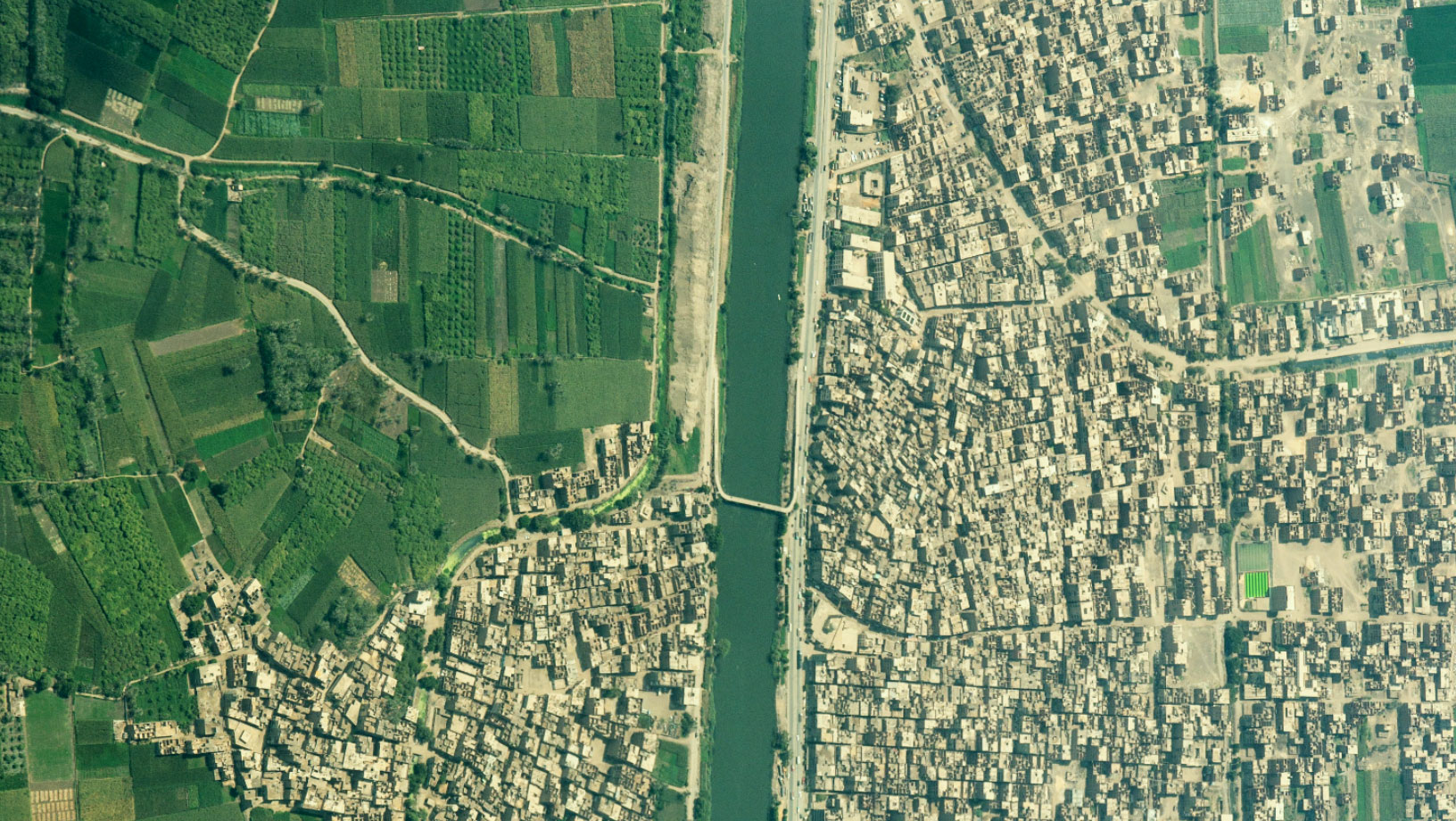
Land encroachment is a national problem in Egypt. Illegal construction and other unsanctioned activities have interfered with agriculture, worsening a dearth of fertile land. More than 1.5 million cases of land encroachment have been recorded by the Egyptian government, but reclaiming the land is difficult and expensive.
Previously, Inspectors had to manually check for violations, and there was no easy way to share or verify up-to-date information about land usage. Because of this, less than 400,000 cases of encroachment have been resolved.
The solution
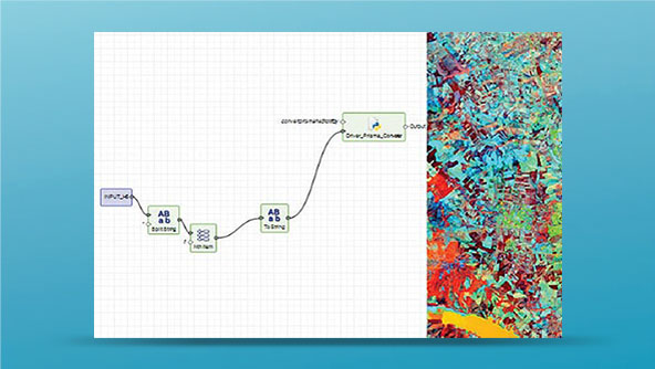
EDGE-Pro, the leading provider of geospatial services in Egypt and the Middle East, developed an automated change detection solution to dramatically speed up the monitoring and inspection processes of protected government lands. It quickly and efficiently identifies changes in the landscape.
Hexagon’s ERDAS IMAGINE technology and M.App Enterprise platform power the solution, which allows the government to save time and reduce costs while sharing data about illegal land activity.
Learn more
Also explore
ERDAS IMAGINE
M.App Enterprise