HxGN SmartNet Network RTK and RINEX Data Services
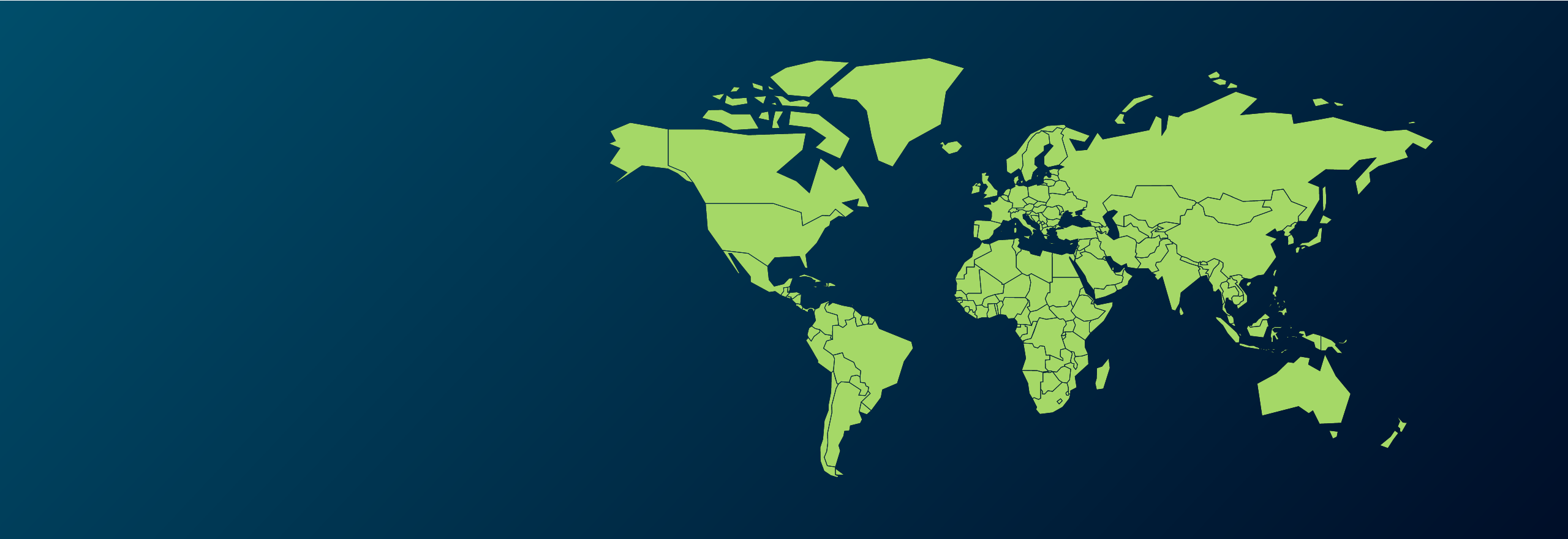
With Network RTK and RINEX Data solutions, HxGN SmartNet correction services ensure that in real-time and for post-processing you have accurate location data in the field and the office, across applications and around the world.

Correction services for every application
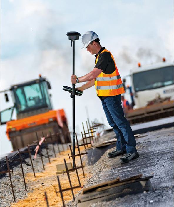
Delivering the centimetre-level accuracy necessary for machine control, automation, surveying, asset mapping and more.

Contact & Support
Are you new to HxGN SmartNet and ready to learn more? Contact us. If you need help with your existing SmartNet subscription, request support.
Correction service options in your region
Discover the coverage and service options available in your region.
Accuracy and availability
HxGN SmartNet has perfected accuracy and availability. With SmartNet Network RTK services, our users receive high precision correction data in an open standard format (RTCM) simply by connecting any GNSS-enabled device over the mobile internet.
Our RINEX Data services provide the most comprehensive data globally from our reference stations, giving users confidence that despite imperfect conditions when they measure, their final results are accurate. We use our RINEX Data services to position our stations into the millimetre world, and our customers can do the same.
Correction services for any GNSS device
HxGN SmartNet Network RTK is an open-standard correction service that works with all GNSS devices, allowing you to benefit from one streamlined service across all your GNSS equipment.
Constantly monitored for availability and high accuracy in seconds, this correction data enhances autonomous positioning on GNSS devices down to the centimetre and can be added to other devices, assets and machines to enable a range of location data dependent applications.

Post-processing data download service
RINEX is a file format that stores observations received by our 5,300 reference stations across the globe. Our RINEX data provides the foundation on which HxGN SmartNet is built, allowing us to bring our reference stations into the millimetre world. As a RINEX Data subscriber, you can do the same.
During the post processing stage, access to these files enables you to fill in coverage or communication gaps impacting real-time positioning accuracy. Since we have the most reference stations, we also have the most complete RINEX set globally, and offer several ways of accessing and integrating the data into your post-processing workflow.
When mobile coverage fails and you cannot obtain accurate measurements with your rover, you can continue recording and later use RINEX Data with an office software, like Leica Infinity or NovAtel’s Waypoint, to apply precise corrections.