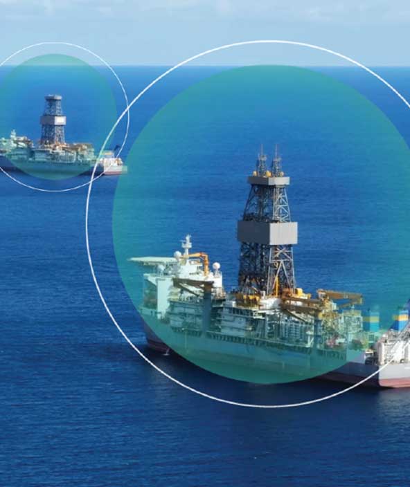
Marine and offshore surveying

Precise positioning for marine surveying
GNSS, inertial navigation systems and correction services for enhanced accuracy.
Surveying in advance of building bridges, constructing offshore wind farms and dredging requires a high level of positioning accuracy.
Hexagon provides GNSS positioning with multi-constellation and multi-frequency for enhanced reliability, deeply coupled inertial navigation systems and precise point positioning (PPP) correction services for full redundancy during marine survey operations.
-
Overview
-
Infrastructure
-
Cities and nations

Construct phase
Maintain a data-driven approach to orchestrate the entire construction phase, creating a 3D model of productivity and efficiency — with higher quality, fewer reworks and less waste — while layering 4D cost and 5D BIM scheduling data throughout the project.
Mapping solutions
Leverage location intelligence with solutions that capture, visualise, analyse and derive insights from location data to address a variety of urban and national challenges.