M.App X
Cloud-deployable image intelligence
See M.App X in action
3D capabilities are now available using terrain served from LuciadFusion Server.
Cloud-deployable image intelligence
M.App X incorporates all the geospatial analyst and imagery analyst’s requirements in a streamlined, easy-to-use environment.
What's new in M.App X 2023?
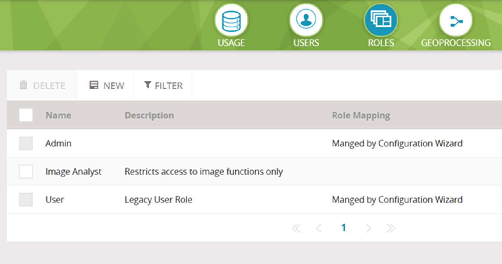
Support for multiple user roles, 3D measurements, improved styling capabilities and more
Request pricing
M.App X overview
M.App X can provide geospatial solutions to your organization.
M.App X is a cloud-deployable enterprise solution fostering geospatial tradecraft creation, common usage, and secure sharing of the latest intel, making up-to-date information accessible and reusable.
Easy to manage
- Unified and centralized software management reduces administrative costs for defense agencies and solves the problem of inconsistent software versions.
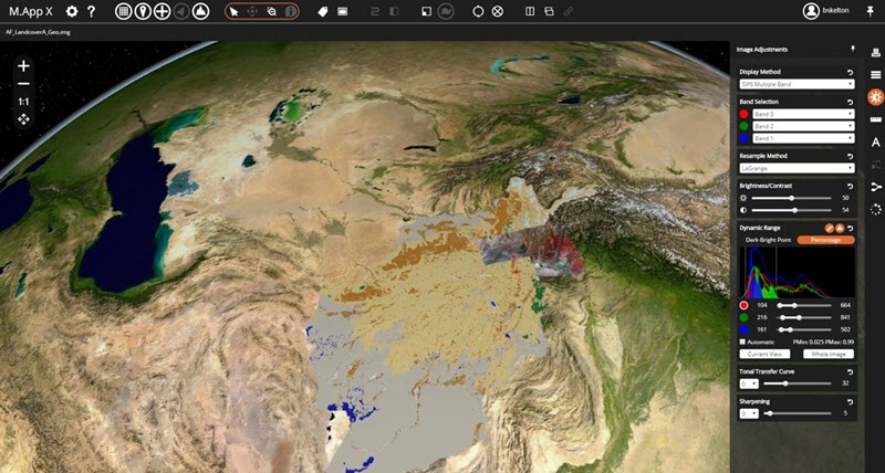
Faster rasters and vectors
- Using the most advanced web technology, the M.App X environment delivers desktop-like performance and real-life visualizations.
Disseminate and share quickly
- Because M.App X is cloud-based, people in the field and decision makers have instant access to the latest information, sharing the same view.
M.App X capabilities
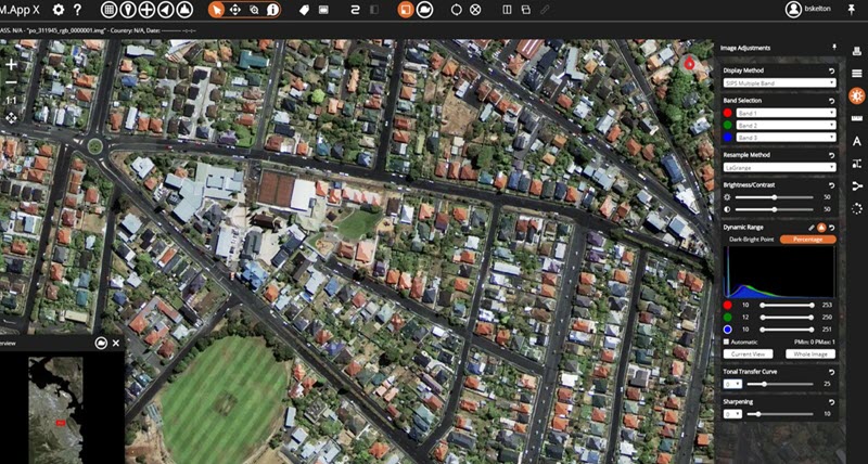
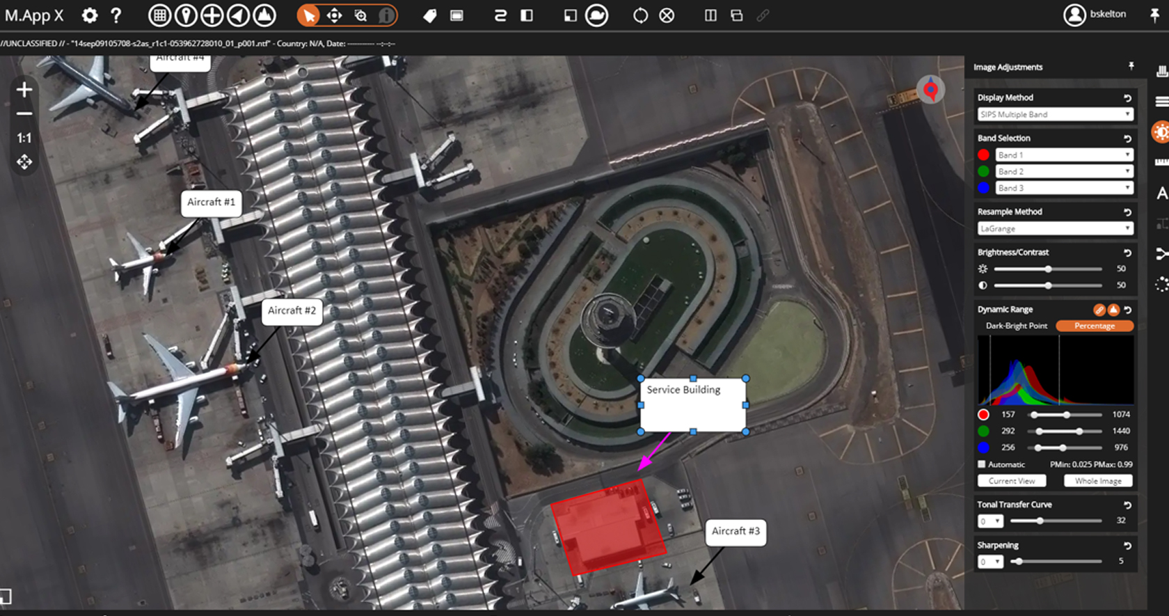
Simplified, intuitive interface
Personalized data management, 3D and stereo displays, precise sensor model measurement, smart annotation and more makes M.App X easy to operate with little training needed.
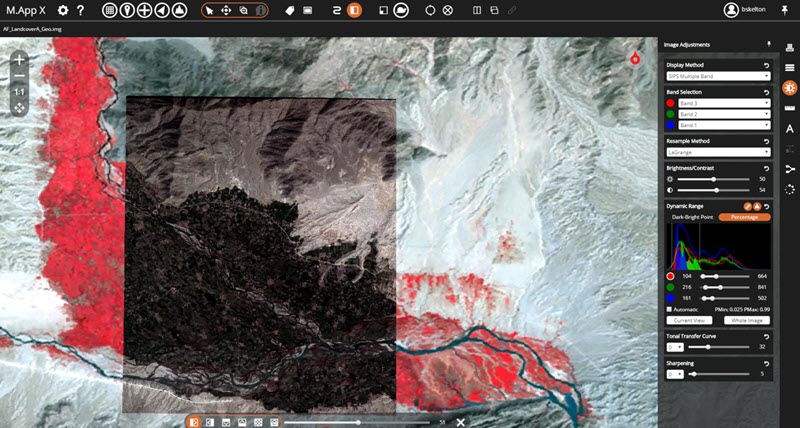
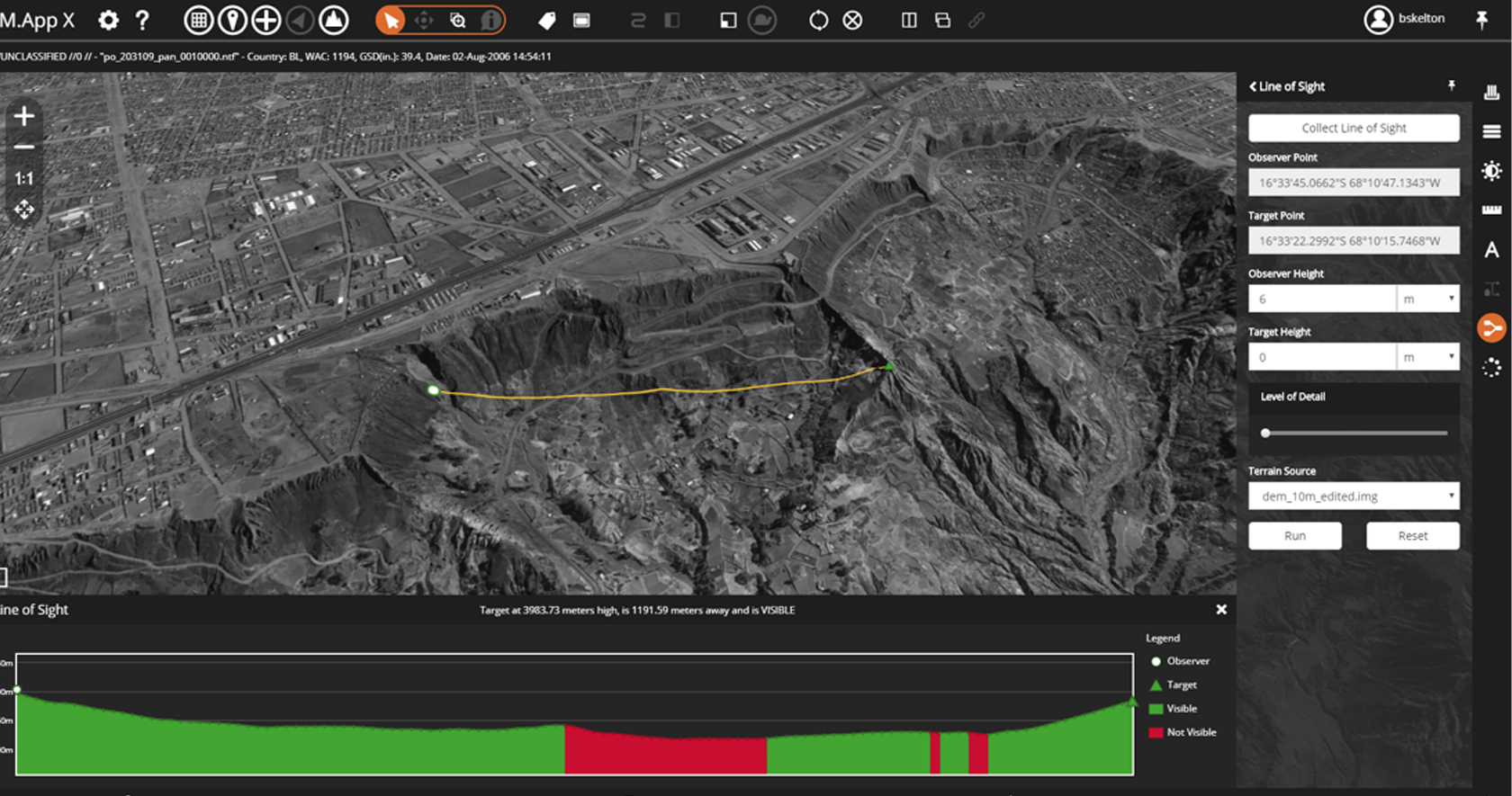
Examine with precision
Get immediate feedback with dynamic adjustment. Measure position, height, bearing, angle, polygon area, perimeter, precise elevation, and sensor position information in seconds.
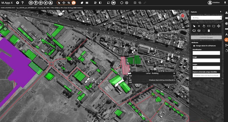
Report with confidence
Create illustrative maps using a rich styling library of symbols, for a centralized geospatial data repository gives everyone in the organization the most current information.
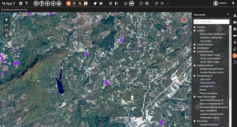
Geoprocessing
Advanced web technology
M.App X delivers desktop-like performance and real-time visualizations, hosted on the cloud.

Support portal
-
Brochures
-
Videos
-
Technical documents
-
Blogs
-
Download M.App X