ERDAS APOLLO
Enables enterprise data management, discovery and delivery
More about ERDAS APOLLO
Learn more about what ERDAS APOLLO has to offer in this brochure.
What's new in ERDAS APOLLO 2023?
Discover the rebuilt ERDAS APOLLO with out-of-the-box access to 3D data formats and more.
Request pricing
ERDAS APOLLO overview
Do you have large volumes of geospatial information, regularly updated data stores and a distributed user base? Do you need a single, integrated enterprise-class, spatial data infrastructure? Is your image delivery performance too slow and inefficient?
ERDAS APOLLO provides the greatest flexibility for geospatial data delivery, enabling dissemination into any client, on any device. Implementing an out-of-the-box, service-oriented architecture (SOA), ERDAS APOLLO can be customized and extended to satisfy both your geospatial and business process requirements.
ERDAS APOLLO capabilities

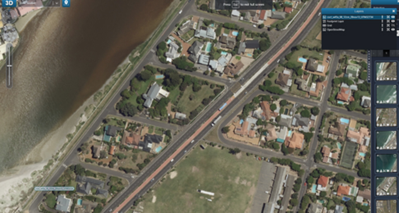
Fastest image delivery possible
With the high-performance streaming imagery protocol ECWP, ERDAS APOLLO includes the fastest image delivery system on the market.
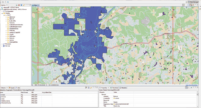
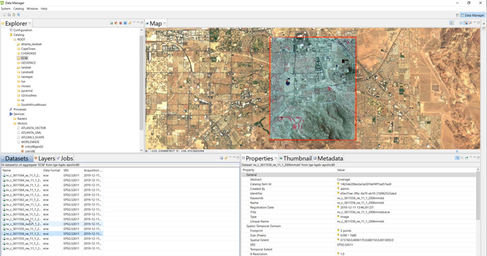
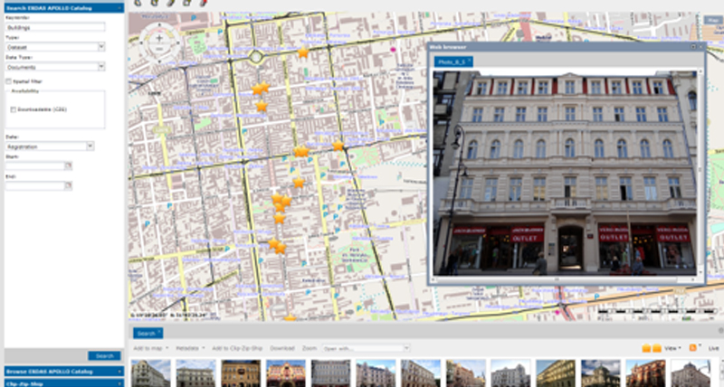
Harvest, catalog, secure, and publish all data types
ERDAS APOLLO comprehensively catalogs ALL of your data – including vector (GML, Shapefile, FGDB), point clouds, imagery and ancillary business data – all in a single crawler.
A host of delivery options
ERDAS APOLLO provides the greatest flexibility for geospatial data delivery, enabling dissemination into any client, on any device.
Completely interoperable
ERDAS APOLLO embraces OGC services as a primary, native implementation for accessing data. This ensures the greatest interoperability and flexibility when integrating ERDAS APOLLO into your current workflows.
Flexible deployment
Choose a deployment model that is simple, flexible and fits your needs and budget. Implement your ERDAS APOLLO solution where it makes sense for you: On-premises or on the cloud.

Support portal
-
Brochures
-
Case studies
- One tool for every need: Accelerating abandoned mine monitoring
- Automating photogrammetry analysis for orthophoto maps
- Modernizing operations for mapping needs in Kenya
- Monitoring forest cover changes in Madhya Pradesh
- Land parcel identification system serves farmers efficiently
- Hexagon Geospatial's cloud-based solution helps map entire country of Germany
- Streaming national maps as a service to India
-
Technical documents
- ERDAS APOLLO 2023 Update 1 release guide
- ERDAS APOLLO 2023 release guide
- ERDAS APOLLO 2023 product description
- ERDAS APOLLO 2022 Update 3 release guide
- ERDAS APOLLO 2022 Update 2 release guide
- ERDAS APOLLO 2022 release guide
- ERDAS APOLLO 2022 product description
- ERDAS APOLLO 2020 release guide
- ERDAS APOLLO 2020 product description
- ERDAS APOLLO 2018 release guide
- ERDAS APOLLO 2018 product description
- Online help