Geospatial resellers in action
Around the world, our geospatial partners deliver mapping, imagery, location intelligence and other solutions across many different public and commercial services. Check out their solutions and stories.
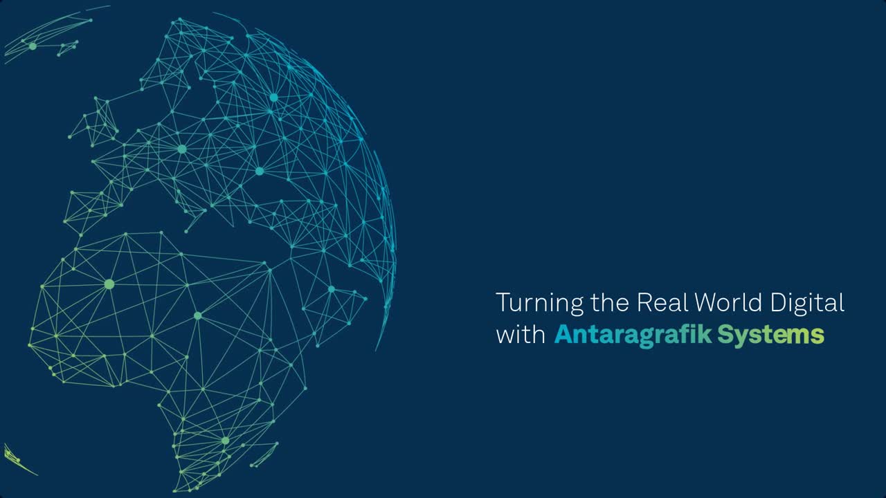
Making the real world digital with Antaragrafik Systems
Discover how to store, manage, analyse, report on and share topographical changes that affect real world operations.

Managing river flood risks in Romania and Bulgaria
Learn how nearly 150,000 people have benefitted from reduced reaction time in flood emergency situations because authorities are able to leverage integrated tools and information.

IMAGEM is accelerating digital transformation
Organizations can harness the potential of their data through innovative location-intelligent solutions from IMAGEM.
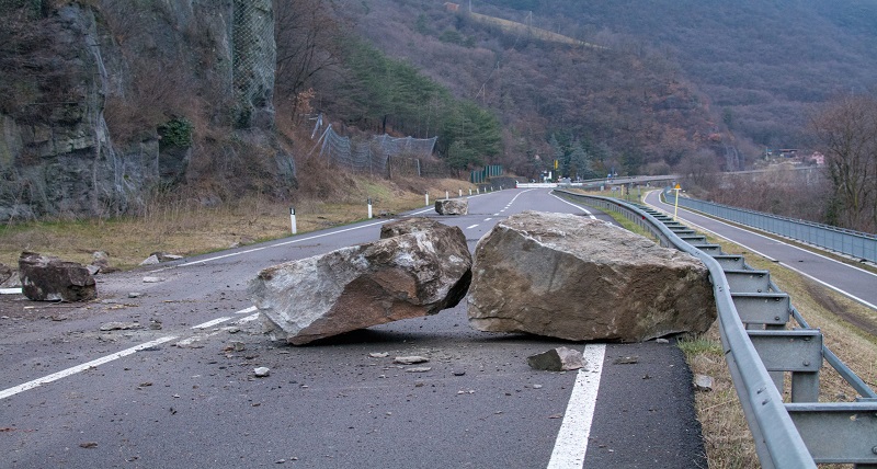
Monitor land instability to predict landslide events
Planetek Italia’s Rheticus Safeland solution is designed to help prevent and mitigate the risks of landslides and other land instability disasters.
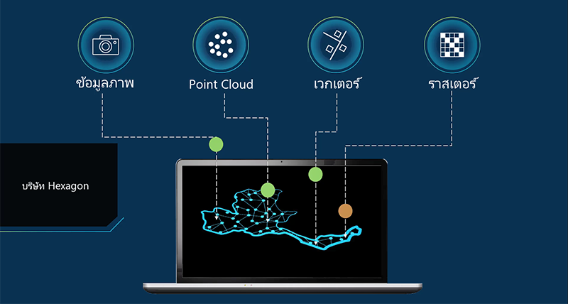
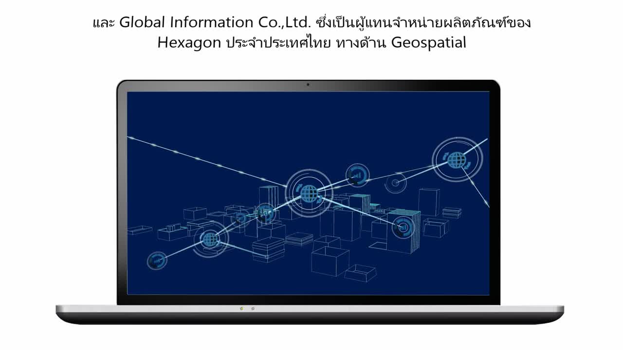
Improve big data visualization and reduce storage costs
With Global Information Company Ltd of Thailand, customers can streamline how they manage and distribute geospatial big data.
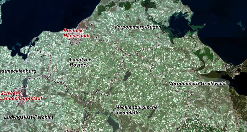
Managing terabytes of satellite data with mySentinel
Officials in Germany provide up-to-date, nationwide imagery to agencies and citizens on a monthly basis with minimal human intervention.

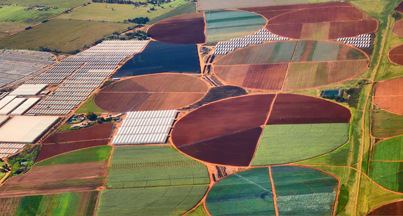
Farm smarter and improve crop yields with AgriSpace
Farmers make informed decisions with an online portal of satellite imagery combined with real-time weather data offered by GeoFarm, a division of Geospace International.
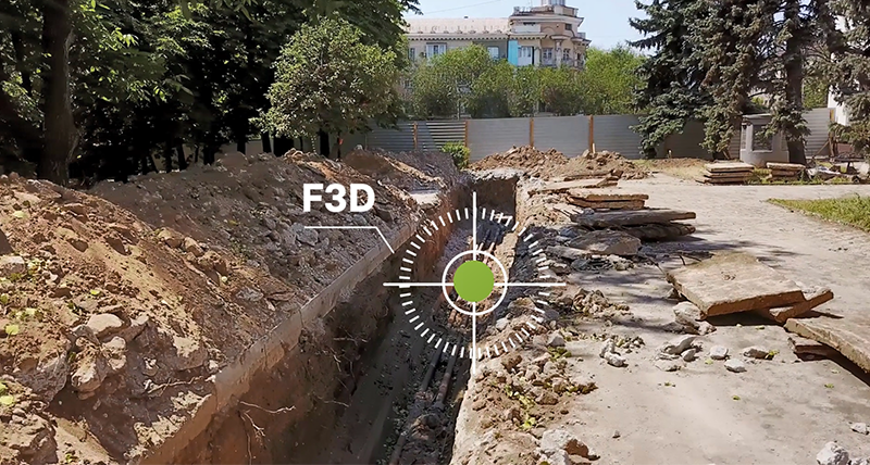
Geoference utilities installation and networks without a surveyor
FOUILLES 3D is a comprehensive solution built by GEOSYSTEMS France that helps crews more easily conduct open trench surveying, georeferencing and reporting for utility networks.
Monitoring and evaluation for agriculture
Calculate, measure and detect changes with incredible accuracy, from crops to lakes, with this system from Edge-Pro.