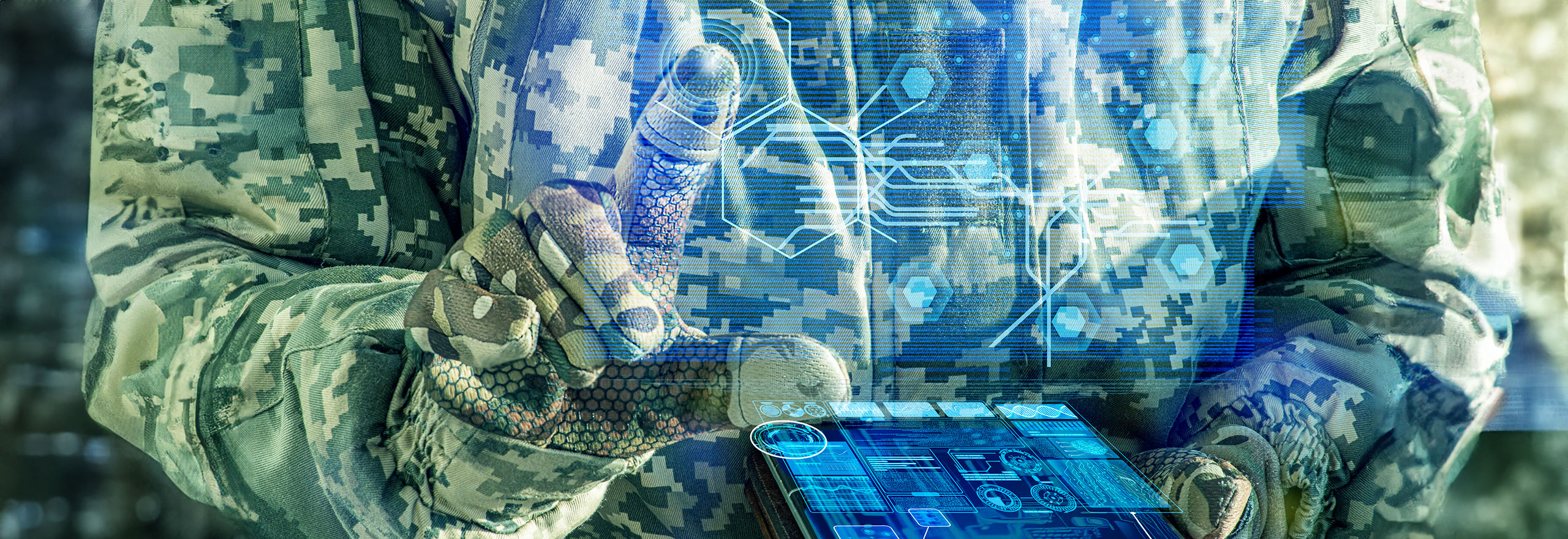
How to win on the digital battlefield
In today’s world, no military can win on the physical battlefield without digital transformation. Are you ready for the future?
Ready to learn how to strengthen your digital battlefield?
Today’s militaries face increasingly complex challenges from ever evolving threats including terrorism, geopolitical tensions, as well as evolving concepts, such as Multi Domain Operations (MDO). To help defeat these threats with agility and adaptability, forces are turning to digital transformation as a top priority.
According to NATO, by 2030 nations can expect a five-fold increase in the need for their workforces to be digitally literate. In anticipation of these changes, modern and resilient solutions are critical to achieve comprehensive situational awareness and enhance informed decision making.
With the right advanced technologies, defence organisations can produce, analyse and manage geospatial information and develop powerful solutions:
- Automated workflows: For users to capture repetitive, complicated or mundane processes, automated workflows allow for more easily accessible and streamlined data.
- GEOINT software and solutions: For mapping and imagery analysis, data production and GEOINT solutions exploit and process vast amounts of geospatial and non-geospatial data.
- C6ISR solutions: From battlefield operations to command and control centres, C6ISR solutions can be built with software APIs to solve situational awareness challenges.
- Mapping and charting: From improving traditional cartography to enabling dynamic map services, mapping authorities can modernise their operations.
- Data management and sharing: Solutions empower in-theater operators and non-technical users to rapidly share and visualise mission-critical geospatial intelligence.
Data is the lifeline to strategic insight. The backbone of MDO is interoperability, coordination and communication between air, land, sea, space and cyber forces across nations; these are crucial to attain information authority and tactical advantage. Being able to understand and use data is the key to dominating the rapidly expanding digital battlefield, and Hexagon’s products and solution experts stand ready to assist you in your mission.
Discover more
Countering UAS with modern C6ISR
French special forces adopt mobile apps
Cooperation improves European defence
Products
-
Luciad portfolio
-
M.App X
-
Power Portfolio


