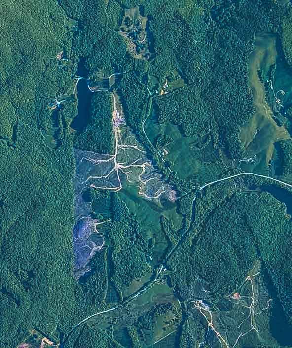
Land regulation

Precision data for land and property management
Location-based information and capabilities for land administration and management
Hexagon’s land management solutions help government departments monitor land and property to ensure sustainable management and development. Our location-based information and surveying capabilities support cadastral mapping, property value assessments, land- use monitoring, urban planning and development, environmental protection and more.
-
Overview
-
Cities and nations

Industrial and commercial resiliency
Forge safer industrial and commercial facilities with scalable surveillance, security and incident management capabilities.
Mapping solutions
Leverage location intelligence with solutions that capture, visualise, analyse and derive insights from location data to address a variety of urban and national challenges.
Public administration solutions
Easily share data for census, cadastral management, public works and interagency situational awareness with cloud-based applications and collaborative solutions.