Key stakeholders of the defence industry

Hexagon transforms complex data into mission-critical decision making
Geospatial intelligence (GEOINT) and imagery analysts play a vital role in acquiring, analysing and evaluating source and imagery data to produce actionable intelligence for mission success and national security.
Hexagon empowers GEOINT and imagery analysts with a suite of solutions for collecting, managing, integrating, visualising and analysing large amounts of mission-critical data for defence and humanitarian operations.
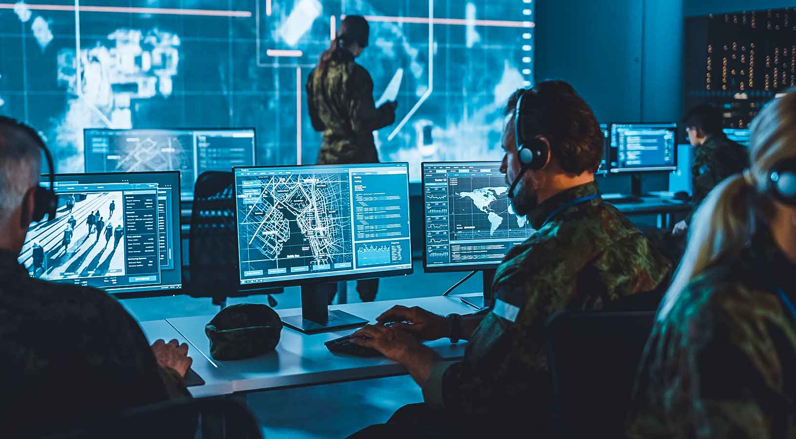
Defence mission planners and operators serve as the critical link in the combatant commands between warfighters, planners and defence intelligence analysts. Planning entails a wide range of data sources, platforms, and users — and every mission is unique, requiring different assets and insights for achieving mission success.
Hexagon enables adaptive mission planning for any air, sea, land or joint operations scenerio. Our location intelligence and geospatial solutions create a common operational picture for situational awareness that helps defence agencies to analyse complex data and imagery for informed decision making.

Original equipment manufacturers (OEMs), system integrators and developers are crucial for providing military organisations with access to cutting-edge innovations for mission enablement.
Hexagon’s platforms help defence companies create high-performing and highly accurate real-time visualisation and analysis applications for C4ISR across air, land, sea and joint operations. Our platforms enhance manned and unmanned systems and operations with geospatial capabilities, including headquarters-level common operating pictures, on-board battle management systems and more.