Key stakeholders of the marine positioning industry
The marine industry, whether offshore, in the littoral or in ports and canals, requires specialised equipment for assured precise positioning. Read how Hexagon meets these needs through Global Navigation Satellite Systems (GNSS), inertial navigation systems (INS) and location intelligence.
Why do marine applications require GNSS positioning?
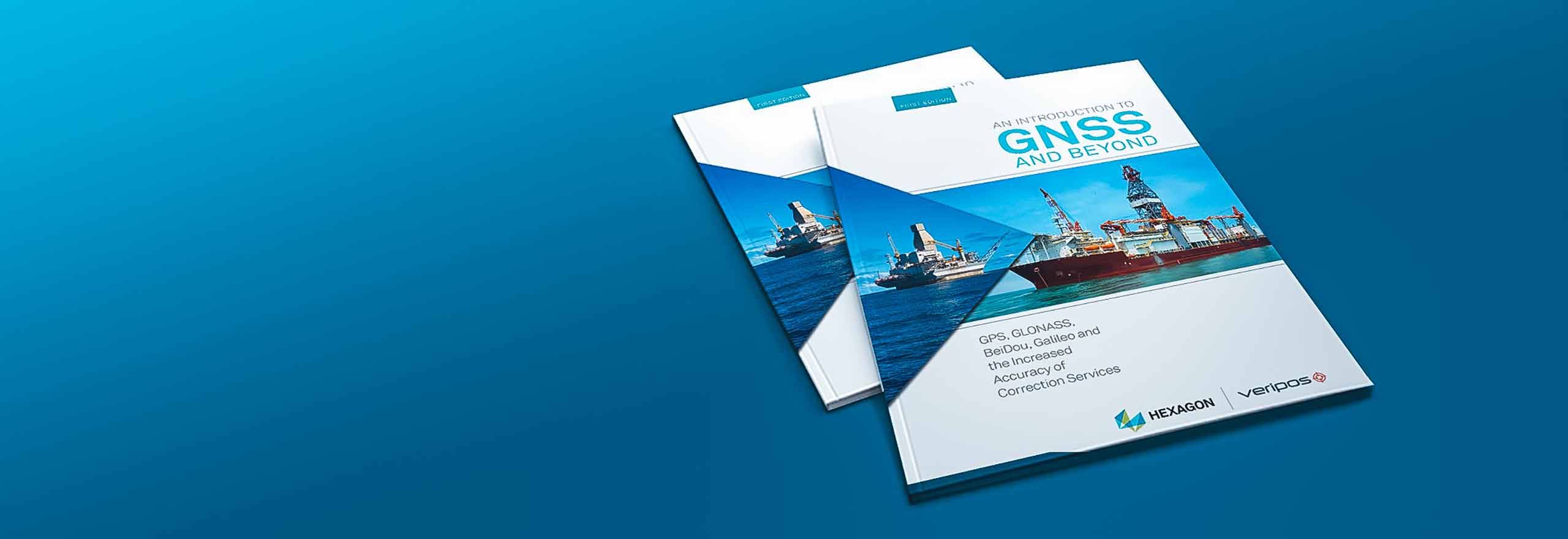
Our "Introduction to GNSS" book explains how GNSS enables and enhances the work done in the marine domain.
Whether dynamic positioning (DP) operators, surveyors or dredgers, developers of autonomous vessels or commercial shippers, your operations need precise positioning from Global Navigation Satellite Systems (GNSS), inertial navigation systems (INS) and location intelligence.
Hexagon provides GNSS & INS marine positioning solutions, correction services and 3D data visualisation to navigate challenging waters.
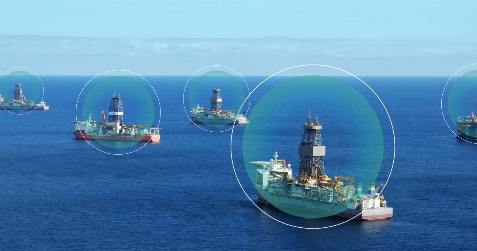
Dynamic positioning (DP) is vital to a marine oil & gas drilling vessel. DP ensures your system remains in place despite weather conditions and tidal and heave forces. These positioning systems are the first line of defence against environmental catastrophes, operational downtime and growing costs. You need a reliable and robust system for optimal accuracy and peace of mind.
With 99.999% available precise point positioning (PPP) correction services, highly precise GNSS receivers and antennas, plus built-in redundancy for consistent reliability, Hexagon delivers the peace of mind you need in your DP system.
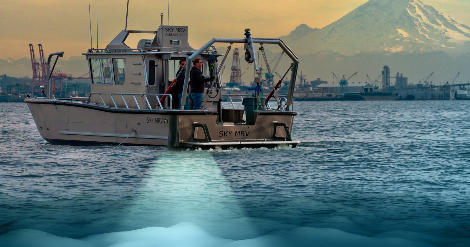
Hydrographic and bathymetric surveyors face many challenges, including tidal and heave forces, and interruptions to their positioning systems.
With Hexagon, those interruptions are bridged through robust GNSS marine positioning and PPP correction services. Further, our inertial measurement systems (INS) and SPAN GNSS+INS technology integrates heading, attitude and heave measurements into positioning. Post-processing of data is improved with enhanced accuracy and reliable data collection.
Mapping areas and dredging regions for construction can be more efficiently accomplished through reliable positioning and surveying sensors, saving overall project and labour costs. Our marine positioning solutions scale with your operations to better serve your project and positioning needs.
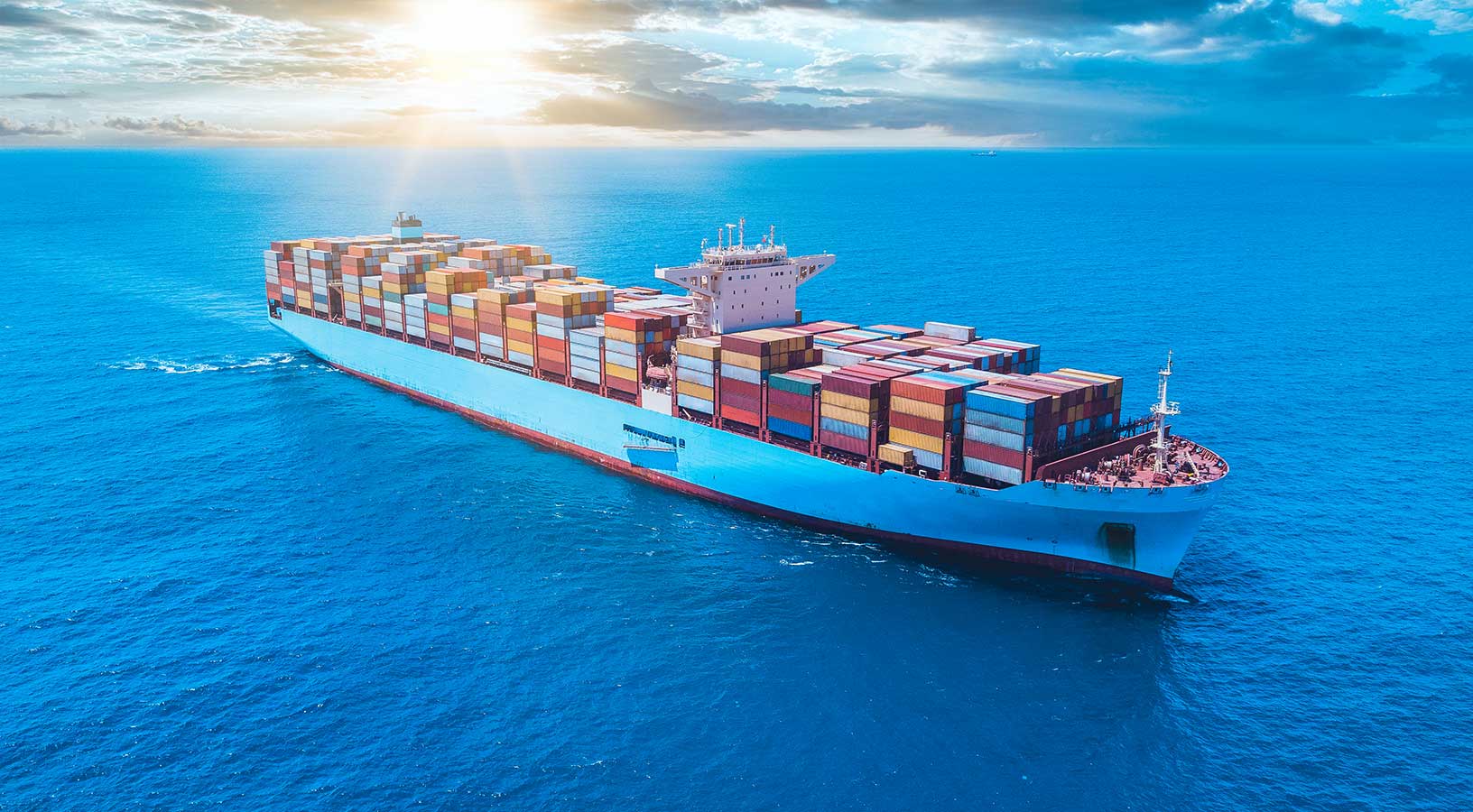
To ensure the safe navigation of shipping and transportation vessels, you need a marine positioning system that is resilient to jamming and spoofing, as well as reliably available and accurate through challenging conditions. Continuous operations and the safety of the crew, vessel and cargo are assured through enhanced GNSS/GPS positioning solutions from Hexagon.
Enabling autonomy on marine vessels is no longer a guessing game. Hexagon’s engineering services, sensors and marine positioning solutions help fast track autonomous R&D projects. Whether offshore, nearshore or subsea, autonomy is within reach through robust and precise positioning.

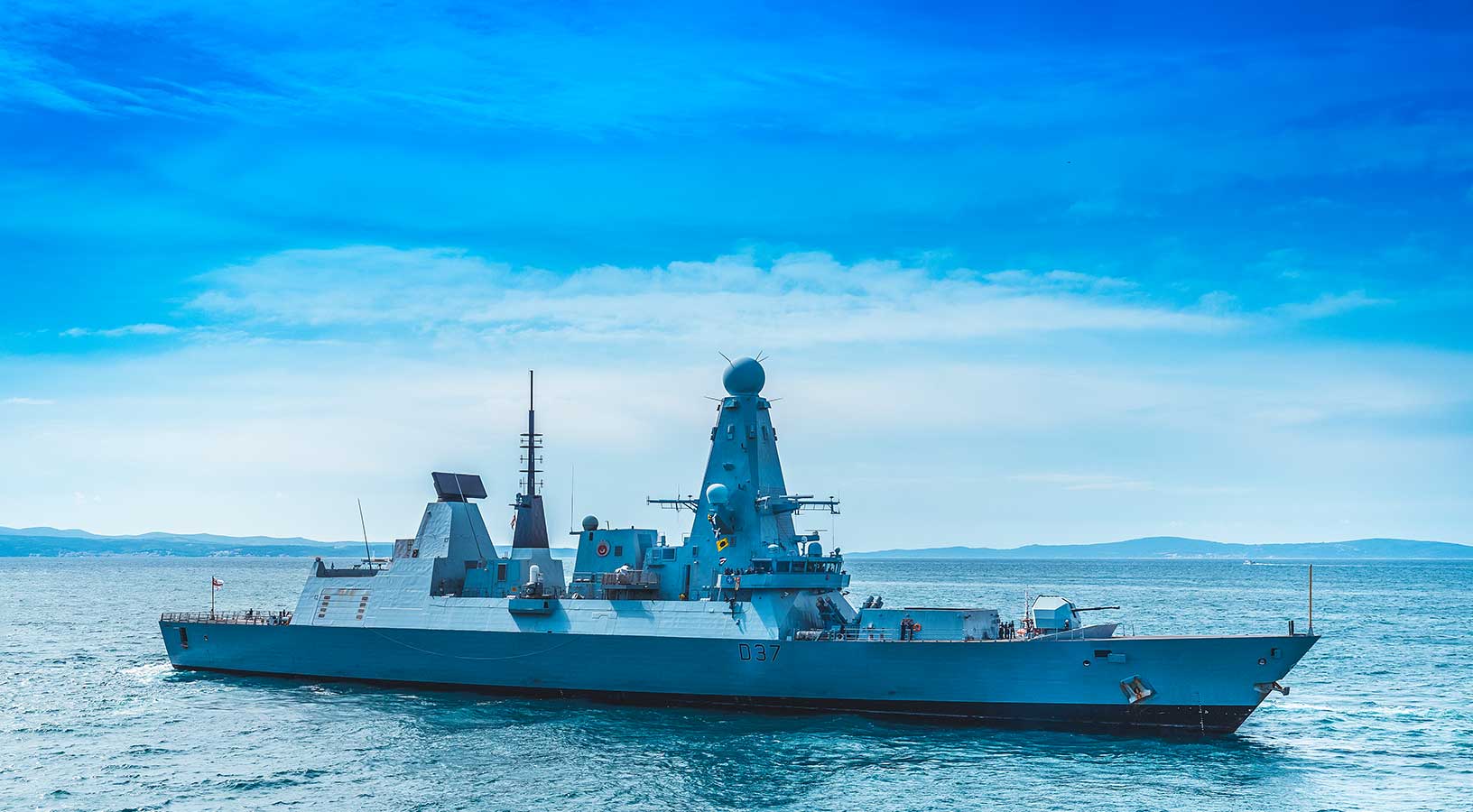
When navigating offshore and in the littoral, naval operations need to rely on the accuracy of their positioning, navigation and timing (PNT) measurements. When operating in contested environments where cyber electromagnetic activities are common, their GNSS/GPS systems face interference, jamming and spoofing threats.
Assured PNT is possible through Hexagon's anti-jam and resiliency solutions. Available for offshore, low-SWaP nearshore and littoral vessels, these solutions deliver assured PNT no matter where their operations take them.