Remote Sensing and GIS for Education Programs
Are your students interested in a career in geospatial sciences? Now, you can provide them with the leading-edge technology they need to hone their analytical skills.
With Hexagon’s desktop-based remote sensing and GIS offerings, students will learn to:
- Process large quantities of raw spatial information
- Unearth insightful information from imagery, terrain, radar and LiDAR data sources
- Create, update and analyse valuable geospatial information
- Deliver dynamic analysis and mapping products
Trusted in academia for 40-plus years, Hexagon’s desktop software helps students gain in-depth knowledge and develop the expertise to solve real-world challenges. A wide variety of organisations across the globe rely on Hexagon technology every day to help them understand the effects of our geography.
Using creative and intuitive interfaces, smart workflows and automated technologies, students can apply geospatial knowledge to a variety of disciplines, from the natural sciences to communications.
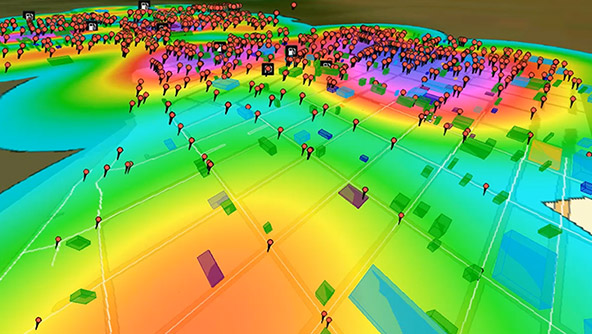
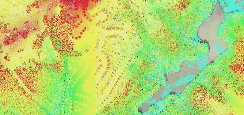
Remote Sensing for Education programme
Geographic imaging professionals need to process vast amounts of geospatial data every day. Diverse organisations use ERDAS IMAGINE to leverage their geospatial data investments.
- Land and urban planners monitor and support decision-making for sustainable urban development in dense urban environments
- Data producers use photogrammetric tools to streamline rectification processing workflows, increasing the performance and the accuracy of generated information
- Transportation analysts streamline construction processes and monitor infrastructure
- Defence analysts discover specific activities to support field operations and react to events quickly
In the Remote Sensing for Education programme, students and instructors gain hands-on experience in:
- ERDAS IMAGINE Professional: Graphical Spatial Model Editor for building and executing re-usable spatial recipes, multispectral image classification, hyperspectral image processing and point cloud tools
- IMAGINE Expansion Pack: Includes automated image-to-image coregistration (AutoSync), 3D visualisation and analysis (VirtualGIS), wizard-based change detection (DeltaCue), orthorectifying radar data (OrthoRadar), NITF support, terrain extraction from SAR images and stereo feature collection
- IMAGINE Photogrammetry: Perform analytical triangulation, orthorectify imagery, produce orthomosaics, and generate terrain models, including high-resolution point clouds
- IMAGINE DSM Extractor: Generate digital surface models using semi-global matching (SGM) algorithms
- IMAGINE Terrain Editor: Edit terrain data draped directly over a stereo image pair
- ERDAS ER Mapper: Advanced image processing and compression capabilities geared toward oil, gas and mineral industries
GIS for Education programme
Making a good map requires powerful analytical tools and clear symbolisation. A wide range of organisations manage their geospatial feature and vector data with GeoMedia, a flexible and dynamic GIS management solution. For example:
- Map production agencies and local, regional and national governments derive valuable information from multiple operations with dynamic information on the fly
- Utility organisations can automate management of their networks and infrastructure
- City officials get insights needed to reduce traffic and car accidents as well as improve 911 response times
In the GIS for Education programme, students and instructors will gain hands-on experience in:
- GeoMedia Professional: Includes grid analysis, data fusion, transaction management, public works management and parcel management
- GeoMedia Transportation Manager: Analyse and maintain linear road networks and infrastructure
- GeoMedia Motion Video Analyst Professional: Analysis of motion video taken from UAVs and other moving vehicles
- GeoMedia Advanced Collection: Includes functionality from GeoMedia Feature Topographer
Classroom licenses
Classroom licenses are concurrent (shared) and designed for use on-site at universities. A university may purchase annual subscriptions or permanent licenses.
Annual subscriptions with a quantity of 5 or more seats are eligible to receive free student licenses for use off campus.
For permanent licenses, a university must purchase a software maintenance agreement each year to receive annual student licenses for use off campus and technical support.
Student licenses for use off campus
Hexagon offers universities the ability to distribute licenses to their students for use off campus. These student licenses are nodelocked and for use only on students’ personal computers. These licenses can be used at home when working remotely.
With the purchase of 5 or more seats in the annual subscription, a university can receive licenses to administer to its students.
With the purchase of 5 or more permanent licenses and annual software maintenance agreement, a university can receive licenses to administer to its students.
Students can acquire support from the university or from the Hexagon Geospatial Community. Students can join the Community for free by registering at the log in screen. Students do not receive support directly from Hexagon.
Request more information on our education programmes.
Please contact Hexagon partner GEOSYSTEMS to inquire about an ATCOR license for atmospheric and topographic correction of images.

A community for educators
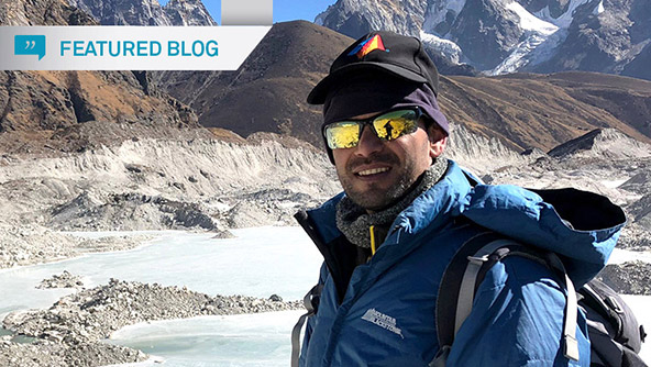
Studying pond growth in Nepal
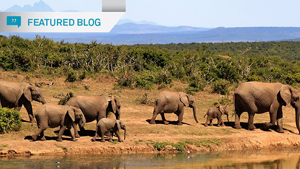
Detecting and monitoring elephants
See ERDAS IMAGINE in action