Accurate data for social programmes
Lesotho’s Ministry of Social Development and UNICEF partner with GeoSpace International to identify households in need
The challenge
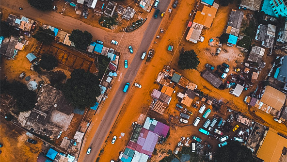
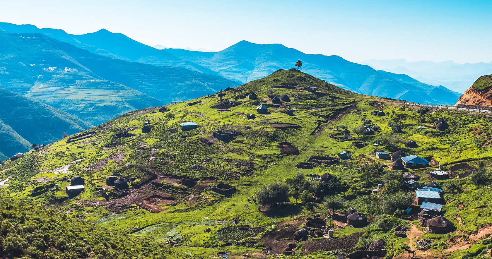
The country of Lesotho in southern Africa is completely encircled by the Republic of South Africa and has a population of just over 2 million. It is known for its mountains, which cover two-thirds of the country, and was the inspiration for the fictional country of Wakanda from the “Black Panther” movies.
To ensure social and financial support reaches households in need, Lesotho’s Ministry of Social Development (MoSD) established the National Information System for Social Assistance (NISSA). The MoSD sought to expand NISSA into all urban areas, and the United Nations Children’s Fund (UNICEF) Lesotho joined as a funding and implementation partner. To gather the necessary information, the project team needed to remotely manage and control the implementation of field data collection operations down to the household and fieldworker levels.
The solution
Hexagon partner GeoSpace International was appointed to plan, implement and manage community mobilisation and field data collection operations; develop the data collection system and digital questionnaire; and migrate all collected data to the SQL-based NISSA Management Information System.
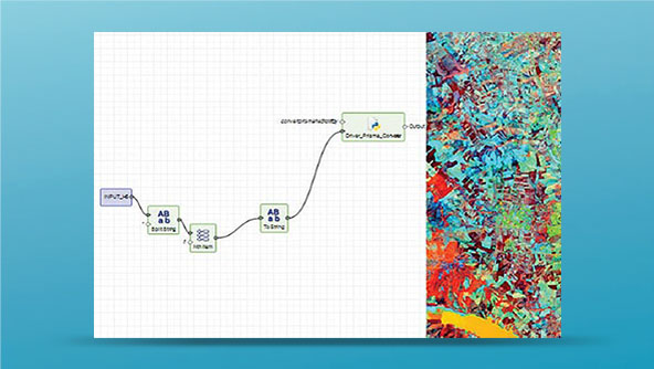
GeoSpace used a combination of digital aerial photography and GIS to identify potential structures where someone might live. It used Hexagon’s GeoMedia Professional to edit existing spatial data and create new spatial points for potential households. The project team used Hexagon’s M.App Enterprise as the basis for a data management and quality assurance application and HxGN Smart Census for mobile field data management.
In all, 307,000 spatial points were created, and during the global pandemic, fieldworkers were able to carefully enumerate 157,309 households and 547,423 individuals.
Learn more
Also explore
ERDAS IMAGINE
M.App Enterprise