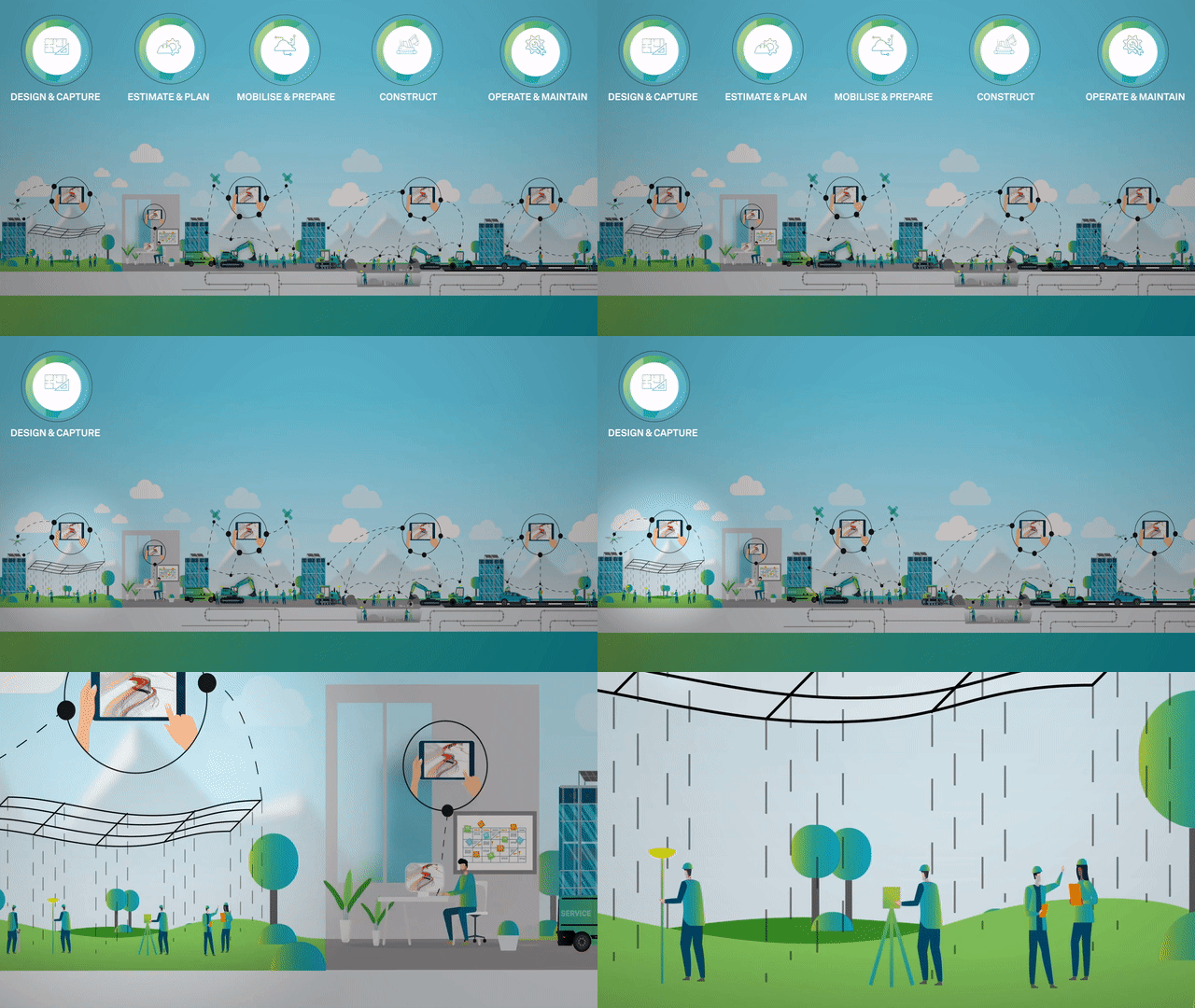
Design and Capture
Accurate positioning and measurement of sites starts early and throughout the project lifecycle. The right distances and volumes are key for construction safety and success.

Everything starts with a good design
To create a plan and detailed scope of work, first the current site conditions need to be determined for future above-ground and in-ground infrastructure. The activities and decisions you make in the first phase, will determine the success and feasibility of your forthcoming construction project and influence the entire life of the project.
Pre-construction deliverables have a strong impact on costs, time, and complexity of the downstream construction activities. To create a complete, virtual model and plan of your project you need survey-grade accuracy and non-proprietary file formats to collaborate and exchange the right information between different CAD and BIM systems.
Four key areas to consider in the design and capture phase of your construction project
Integrated design is not just on paper, it provides you with the right models to plan the work, quantities, resources, time and ensure your people and site are safe. For 200 years, Leica Geosystems has been equipping surveyors with the best measurement and positioning technologies so they can provide the best possible services to contractors.
There are four key aspects of the design and planning phase of your project that must be considered when investing in new technology or choosing a surveying service provider.
Learn more about these four key areas below.
1. Assess site conditions accurately
2. Consider your time is money
You want things to be fast and done right the first time. Choose the right equipment, software and services to make a big difference on the number of hours and people on site.


